2013
Year of foundation
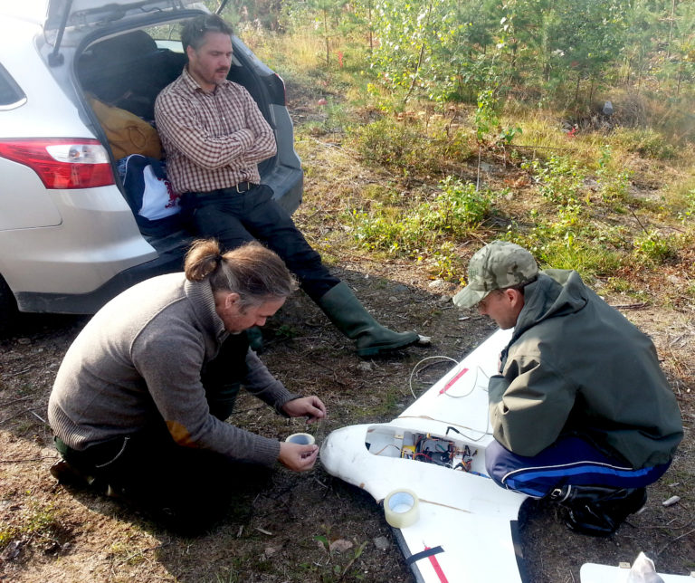
- First drone based magnetometer system prototype is build.
2014
The year of tests (and failures)
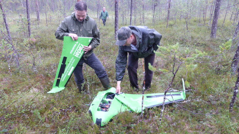
- Baptism of fire: The newly build system is tested.
2015
Year of domestic funding
- TEKES funding for developing drone based magnetic survey system.
2016
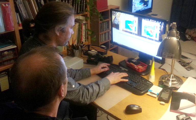
The year of R&D
- Research and development efforts for the radiometric system.
2017
Year of 1st large pilot survey &1st EU project
- First large pilot survey for Pahtavaara mine area in Finland. EIT -RawMaterial MULSEDRO project funding (2017-2020).
2018
Year of large EU project as key developer
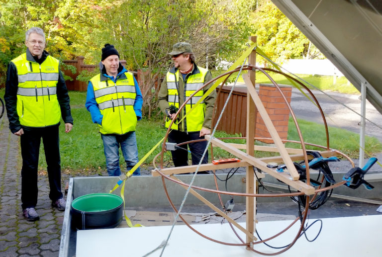
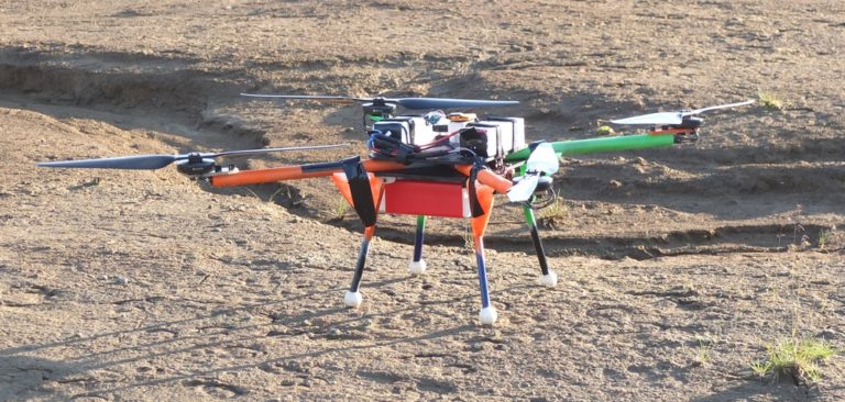
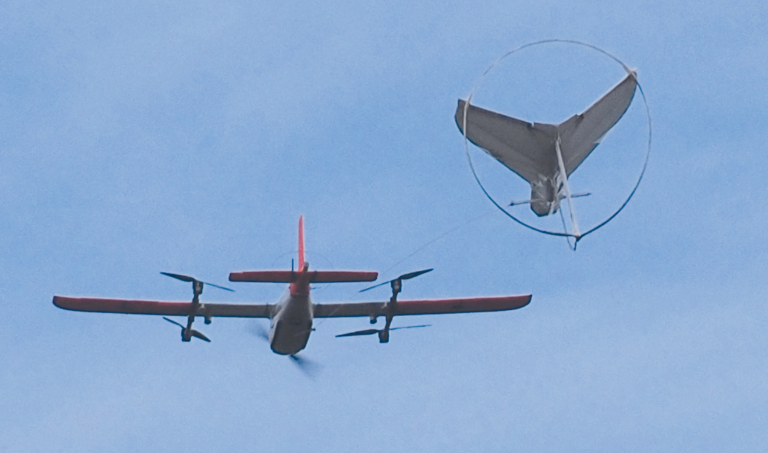
- Horizon 2020 NEXT project funding for developing electromagnetic survey system and vector magnetic field measurement system
2019
Year of internationalization
- Mineral surveys for domestic mining companies
- Conducted several mineral exploration surveys for large international companies.
2020
Year of record achievements
- First international survey
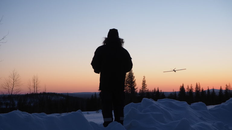
- Total amount of flight kilometres in 2020: over 17 000 line km (35 000 line km total in company lifetime)
- Innovation prize from EU Innovation Radar
- Horizon 2020 Goldeneye project funding (2020 - 2023) for developing Electromagnetic survey system.
2021
Year of the first successful test of the EM system
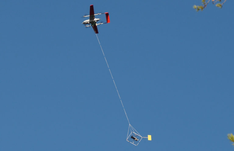
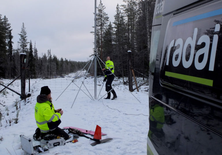
- Tested the new prototype of Radai’s Louhi Electromagnetic system
- Completed 30 surveys for 14 international customers and flown about 30 000 line-km
- The first 2 production surveys in Sweden (>4600 line-km in 6 days)
- Participate in two Horizon 2020 projects
- Introduced a novel vector magnetic field measurement system
- Obtained license to fly BVLOS in Sweden and Norway
2022
The year of new ventures
- Over 30 000 line km flown for 20 customers
- Improvements in Radai’s electromagnetic survey system
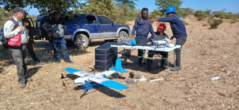
- African operations and the strategic partnership with Zanifi
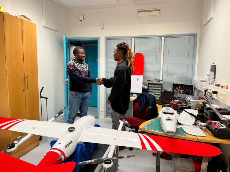
- New team members
- New EU projects
- First underground drone flight in Pyhäsalmi mine
2023
EM system breakthrough and R&D efforts
- Breakthrough in the development of its Louhi electromagnetic survey system during a test survey conducted in the Sokli area.
- Expansion of African operations in Tanzania and the strategic partnership with Tukutech
- Flown 28,000 line-kms and provided mineral exploration services to 12 companies in Finland, Sweden, and Norway.
2024
EM system improvements, internationalization process continues
- EM system reached pre commercial level
- Ongoing research and development efforts
- Participation in 2 EU projects: DroneSOM - successfully completed and Agemera -in progress
- First EM test survey in an non-EU country (Bosnia Herzegovina)
- Permits to fly in 5 countries (Finland, Sweden, Norway, Bulgaria, Bosnia and Herzegovina)
- Radai’s spinoff companies in Zambia and Tanzania are operative and thriving