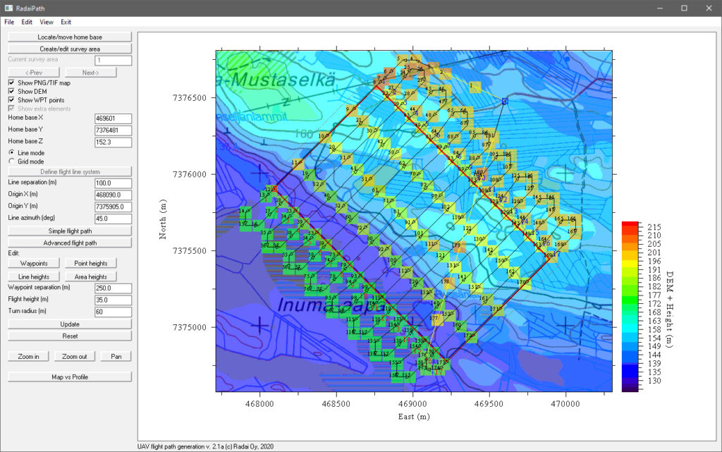
Design survey areas
• Create or import (KML/BNA) survey area polygons
Design line systems
• Line direction and separation
• Line by-pass (margins)
Define home base
• Survey altitude based on the barometric pressure at home base location
Design waypoints
• Waypoint spacing
• Line turnings
• Transit flights
Edit waypoints
• Edit waypoint position & altitude (e.g. powerlines & GSM towers)
Digital elevation models
• Allow path to follow the terrain
• Import DEM data as ASC (ESRI ASCII grid) files
Background maps
• Support PNG & TIF files
Geo-referencing by ESRI world files (PGW /TFW)
• Geo referencing by ESRI world files (PGW/JGW/TFW)
Manual flight lines
• Non regular flight lines
• Special surveys (e.g. clover leaf)
Export waypoints to autopilot