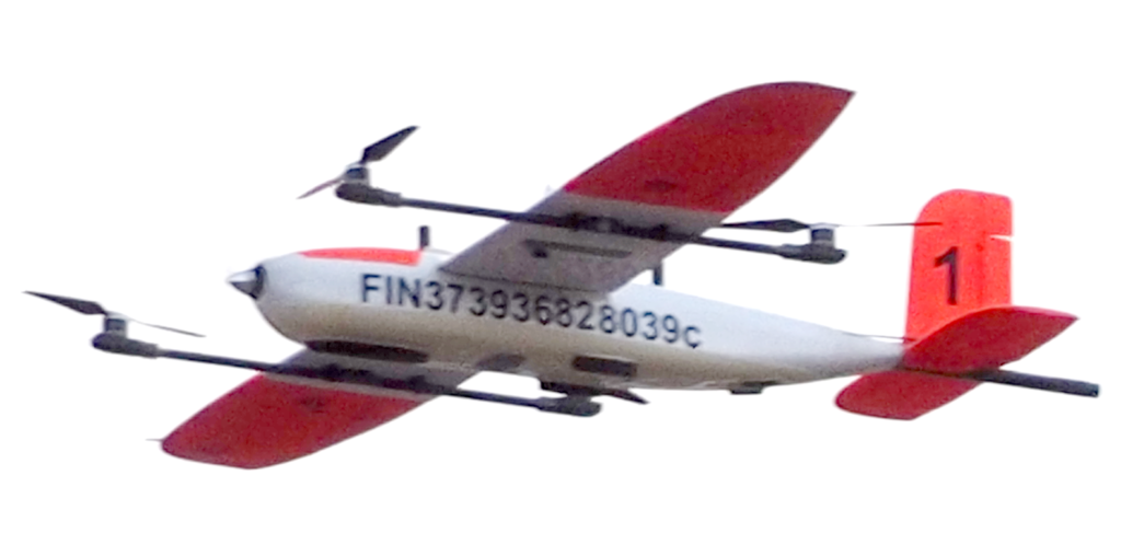
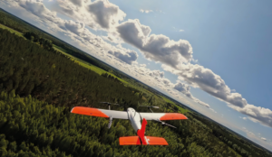
Expertise in drone-based environmental and geophysical surveys
Between your exploration area and your desired data needs,
Radai is taking care of everything
Since 2013, Radai provides environmental and geophysical measurement services using Unmanned Aerial Vehicles (UAV) to approx. 30 mineral exploration companies and flown 90 000 line-km (more than two times the Earth's circumference)
Our offering, which consists of tailor-made field survey operations, includes:
Aerial digital elevation models and volume estimations
Environmental monitoring with wide range sensors
Radai services
Radai services are suitable for a wide variety of applications like mineral exploration, geological mapping, environmental monitoring and conductivity mapping.
Our superior value proposition is maintained by a highly skilled team with an innovative mindset, which continuously looks for solutions to solve customer’s problems.
Radai’s in-house developed software, RadaiPros – magnetic data processing tool, RadaiView – magnetic UAV data viewer and RadaiPath– UAV waypoint editor, are technologies that offer a high quality data for end users. (Read more about Radai’s technology.
We support our customers by offering fully integrated geophysical services. Based on the customer’s needs, Radai’s team is planning the survey and executing it. Acquired data is processed and modelled. At the end of the project, the customer gets a full report together with a complete data set. Our mission is to provide fast, flexible, accurate and cost efficient measurements and data processing.